


Have you ever wondered how the places you have fished, or otherwise visited on and around Great Bear Lake came by their names?
I certainly have.
Not being one who subscribes to the theory that ignorance is bliss – well, most of the time anyway – I started doing some research with the intention of finding the origins of as many place names as possible.
Many of the “official” names were given by English or French-speaking explorers, missionaries, surveyors, geologists, and in a number of instances, were taken from maps submitted with recorded mining claims.
The “official” names notwithstanding, the local people had already named many of the places and features in their own language, therefore I have included traditional Dene, and Northern Slavey place names whenever possible.
Also included are a number of unofficial place names that have been conferred on various landmarks and features by guides and fishermen over the years.
The compilation of this list remains a work in progress, therefor if our information is incorrect, or you happen know the origins of any other place names in and around Great Bear Lake – official or otherwise – please forward them to us, and we will gladly amend and/or add them to our list.
Katseyedie River
The traditional name for this river is Kkpa-tsé-yé-dié meaning “Shine On.”
In the “Report on the Topography and Geology of Great Bear Lake to Great Slave Lake,” by J. Mackintosh Bell, at p.13 he reports:
“[t]his is probably the Katseyedie River of Émile Petitot’s map, and if it is this stream, its source is in a large lake to the north called Petitot Lake or Lac des Bois.”
Petitot also referred to it as the Dry Willows River.
A review of current topographical maps would appear to place the source of this river in Kilekale Lake, rather than Lac des Bois, which also appeared on Émile Petitot’s map.
On the other hand, while not apparent, perhaps it does connect with Lac du Bois in some way – after all he was there.
Naiju or Karkegie River
Located on the south shore of the Smith Arm, it is located about halfway between Ford and Macintosh Bay’s.
It is near this river where Karkeye, or according to his great grandson George Baton, Kargegie, a legendary Dene man who was said to have powerful medicine is buried.
According to George he was buried here so that he could watch people pass by.
Kroger Island
Named to commemorate the memory of Annemarie Kroger. Originally from Hamburg, Germany and employed by the Geographical Branch in 1960, she drowned in July of that year in this area, while carrying out field-research for the Geographical Branch and the Arctic Institute.
Deerpass Bay
Named by Sir John Franklin during his second overland expedition, 1825 – 1827. The traditional place name is Narre ella.
Ford Bay
Name was submitted by F.H. Peters, Surveyor General, and taken from field maps.
Goodfellow Point
Commemorates Joan Goodfellow, who was born in Plaster Rock, NB, and employed by the Geographical Branch in 1960.
Joan, together with Annemarie Kroger, drowned in that same year while carrying out research for the Geographical Branch and the Arctic Institute.
Additional information regarding this unfortunate incident can be found at:
http://pubs.aina.ucalgary.ca/arctic/Arctic13-4-271.pdf
Good Hope Bay
Submitted February 16, 1924 by H.E. Pearson, Dominion Land Surveyor, as an alternative name for what was known then as Smith Bay.
In the early 1900’s, Inspector Charles Deering “Denny” LaNauze of the RCMP commented that the name “Good Hope” came from the fact that the area was regularly frequented by Indians from Fort Good Hope.
The traditional Dene name is Ịturotǫ.
Hook River
A small river that flows into the Coppermine River at the “Big Bend.”
Hook was the chief of the Yellowknives (Copper Indians), who travelled with Sir John Franklin for a time during his first overland expedition from 1819 to 1822.
Hottah Lake
The traditional Dene name is Itseretué, meaning “Two Year Old Moose.”
Macintosh Bay
Named for geologist, James Macintosh Bell.
McGill Bay
Annemarie Kroger, geologist with the University of McGill in Montreal, named it “…after our University. Our last camp was here…”
Clearwater Bay
Named by Annemarie Kroger, who said, “With its sandy shores and clear water, it stands in contrast to the bays east of it.”
Blood Creek
Taken from a sketch map made by John Hornby.
Colville Lake
Named by Sir John Colville, Governor of the Hudson’s Bay Company from 1852 to 1856.
The community was formed in the 1960’s, when people moved into the area on a permanent basis to trap.
Bern Will Brown, Artist, and Missionary Oblate of Mary Immaculate, established a mission at Colville Lake at that time.
The traditional Dene name is K’áhbamįtúé.
Echo Bay
Named for Echo Bay Mines, who used the site for mining after the original settlement of Port Radium had been abandoned.
The official name change from Port Radium to Echo Bay took place on January 7, 1975.
Tulita
“Where the waters meet,” is the place where the Great Bear River empties its waters into the Mackenzie. Once called Fort Norman, it was the site of a Hudson’s bay trading post established in 1851.
The name was changed back to its traditional Northern Slavey name in 1996.
Douglas Bay
Named for mining engineer George M Douglas, author of “Lands Forlorn.”
Ekka Island
Dene name meaning, “Caribou Fat.”
Gossan Island
Submitted by M.G. Cameron, from a sketch provided by Dr. A.E. Cameron, Professor of Mining, University of Alberta.
Great Bear River
Translation of the Dene name Saschohetha or Sahtú Dé.
The name was first applied because of the many bears seen in the area.
Grizzly Bear Mountain
Translation of the traditional Northern Slavey name Saoyú.
Ikanyo Island
Dene name meaning “treeless” island.
Leith Peninsula
Isidore Yukon from Délįnę, who hunted and trapped in the area, provided this name.
Whitefish River
Translation of the traditional Dene name Luedehk’ aledeh.
Cosmo Creek
Named for Cosmo Melvill, John Hornby’s companion from 1908 to 1911.
Crosswise Island
The name came from a map of Great Bear Lake produced by Dr. Miller of the Fisheries Research Board, where he referred to it as, “Crosswise of the Lake Island.”
Dease River
Named by John Rae for Peter Warren Dease, Chief Factor of the Hudson’s Bay Company.
Délįnę
Meaning, “Where the water flows. This Dene community, once called Fort Franklin, is located a short distance from the headwaters of the Great Bear River.
Drybrough Lake
Named after J. Drybrough, a consulting mining engineer who worked in the Great Bear area.
Etacho Point
Emile Petitot’s name for the Scented Grass Hills peninsula.
Scented Grass Hills
Translation of traditional Northern Slavey name. It was referred to as Gai-et-Thella Hill at one time, but on today’s maps is better known as ?ehdacho.
Good Hope Ridge
If you have ever fished the Smith arm, it would be hard to miss the distinctive ridge that forms the west shore of Good Hope Bay. The ridge runs north, all the way to the southern extreme of Lac des Bois.
The Geological Survey proposed the name.
Haldane River
Named after John Haldane, a Chief Factor with the Hudson’s Bay Company.
http://www.biographi.ca/en/bio/haldane_john_8E.html
Hunter Bay and Hornby Bay
These names were submitted by M.G. Cameron, Dominion Land Surveyor – (DLS).
Lindsley Bay
Submitted by G.E.B. Sinclair, and taken from a Lands Division Mineral Claim Sheet.
Mystery Island
Submitted by M.G. Cameron, DLS, May 27, 1932.
Richardson Island
Named after John Richardson, Surgeon and Naturalist with both of Franklin’s land expeditions. He also commanded a boat expedition in 1848, in the search for Franklin.
Sloan River
Submitted in May 1932 by M.G. Cameron, DLS, and likely named after trapper Charles Sloan.
Spud Bay
The Surveyor General submitted this name in 1936 as the name shown on mining claims in that area.
Lac Ste. Thérès
Named for his mother by Father Émile Petitot, O.M.I. The traditional place name is Kotcha – troué or Shelter Lake.
Johnny Hoe River
The traditional place name is Toué – niliné or River of Lakes, and was named for a Sahtú Dene man who is buried in the area.
Camsell River
Great Bear’s largest inflowing river was named by J. Macintosh Bell – Geologist – after his survey assistant Charles Camsell, during their mapping of the river.
Bell Island
Largest island on Hottah Lake is named after J. Macintosh Bell who surveyed the lake and the Camsell River system.
Sawmill Bay
There was a sawmill located in the area, likely built in the early 1930’s owned by Murphy Services who operated out of Cameron Bay. The mill was used to supply timbers for the mine (Eldorado) and lumber for buildings.
Keith Arm
Named after Hudson’s Bay Company (HBC) Chief Factor, George Keith. He was in charge of Fort Chipewyan during Sir John Franklin’s first expedition, 1819-1822.
Franklin named the arm after Keith on his Second Overland Expedition, 1825-1827.
Dease Arm
Named by Sir John, after HBC Chief Factor, Peter Warren Dease, who accompanied him on his second overland expedition, from 1825 to 1827. Dease was also the senior officer on the Dease/Simpson expedition, 1837-1839.
McTavish Arm
Named after John George McTavish, by John Richardson, who surveyed Great Bear Lake in 1826, in conjunction with Franklin’s second overland expedition.
Both McTavish and Richardson were HBC Chief Factors who assisted Franklin during both of his overland expeditions.
McVicar Arm
John Richardson named this arm after HBC Chief Factor, Robert McVicar. Like George McTavish, he assisted Franklin during both of his overland expeditions.
Unlike the others, this arm has a traditional Dene name – Turíli.
Smith Arm
Named after HBC Chief Factor, Edward Smith, by Franklin during his second overland expedition.
In 1924, Dominion Land Surveyor, H.E. Pearson proposed that the arm be renamed, “Good Hope Arm,” but his proposal was not accepted.
Narkay Islands
In Sahtú mythology, these were once giant beaver lodges that had solidified into rock, and legend has it that the world emerged from these lodges back in the mists of time. Trees, animals, the water, and even the Sahtú Dene themselves reputedly came from here.
Clut Lake**
Lake on the Camsell River system likely named after Oblate, Coadjutor Bishop, Isidore Clut, who travelled extensively in the area.
Grouard Lake**
Lake just south of Clut Lake on the Camsell River system likely named after Father Émile Grouard, O.M.I.
Cameron Bay*
While I have been unable to find any definitive proof, it’s possible that the bay was named after M.G. Cameron, DLS, given that he did extensive survey work in the area.
And from Ryan Silke’s book – Cameron Bay, Great Bear Lake: The Story of the Northwest Territories’ First Boom Town:
https://www.yellowknifehistory.com/sites/default/files/cameron_bay_history.pdf
“Jack Cameron, an early fur trader in Hay River in the 1920s-1930s, would later, in a 1949 interview, claim that the bay was named after him, having spent time prospecting at Great Bear Lake in 1933. Fred Peet agreed with this history, as Jack Cameron had staked some of the first claims around Cameron Bay. Less evidence points in favour of prospecting brothers Don and Archie Cameron, or Professor Allen E. Cameron of the Geological Survey of Canada, but these gentleman surely had opportunity to visit the region and spread ingratiating rumours.”
Jack Cameron’s claim seems to be supported by Charles Camsell in his book Son of the North, wherein he states that the bay was named after Jack Cameron, a prospector who staked a number of claims in the area in 1931.
Jupiter Bay*
I believe it was likely named after the York boat that George M Douglas christened the Jupiter.
He sailed this boat from the Mackenzie, up the Great Bear River and across Great Bear to the Dease River, and the bay was likely named after one of the places he stopped to camp along the way.
Tripod Point*
Name given to a point, or rather series of points, on the north shore of the Smith Arm approximately 20 miles west of the Katseyedie River.
A guest at Trophy Lodge erected a tripod on the western most point, to mark the place where he had hooked, and lost, the biggest lake trout he had ever seen.
Fenway Park*
This name was conferred by guides at Trophy lodge to describe an area featuring a wall of bright green cliffs located on the north shore of the lake between Tripod Point and Good Hope Bay.
If you use your imagination, it does bear something of a resemblance to the famous “Green Monster” of Fenway Park fame in Boston.
Ross Point*
Name conferred on the western most point of land on Ekka Island, by none other than Dr. Arthur Ross himself.
This point produced some very big fish in the forty-pound range for Arthur one evening, and then subsequently gave up a fifty pounder the following day.
Jebb Lake*
I’ll be the first to admit that this is something of a long shot, and while I have no definitive proof that what I’m about to suggest is true, I’m also not someone who believes in coincidences.
Located at the top of the Leith Peninsula and reputed to hold Walleye, it MAY have been named after an old prospector by the name of Harry Jebb.
In the book “Down North” by Tony Onraet, he tells the following story after he and his traveling partner had just lost most of their food and gear in an accident on the Peace River.
“He told us his name was Harry Jebb, and he was headed for Great Bear Lake.
He had cooking utensils, baking powder, grease and salt, and a couple of pounds of tea. He had come down the Smoky River, the Wapiti: started with a good boatload of grub; had turned over in the rapids; lost everything but himself and the wolfhounds. Then he started walking down river until he reached a lonely little trading post, where he purchased his present equipment on credit, built a raft and came on.
Well, if that funny little guy could go to Great Bear Lake with such a rig-up, so could we.”
So, what do you think? Am I dreaming in technicolour as they say, or is there a reasonable chance that this particular lake is named after old Harry himself?
Great Bear Lake
Well what of the big lake itself?
Some have said that it takes its name from the constellation Ursa Major – the Great Bear. Perhaps, but personally I prefer this version, as recounted to Cornelius B. Osgood by a Dene elder in 1931.
The story was subsequently included in the annual report to the Government of Canada from the National Museum of Canada:
“Great Bear Lake is said to have taken its name from a fabulous bear which lived near the shore of Bear Mountain.
The Satudene state that once upon a time an Indian near that place shot a bear cub, and putting it into his canoe, started to paddle away. While he did so a Great Bear appeared and said, “Give me back my child.”
This Indian refused to do, so the Great Bear warned him, “Then never camp alone.” The Indian always remembered and obeyed this injunction until one night long afterwards, when he was forced to camp by himself, having become separated from his party.
He camped on an island, but it had no sooner become dark than the Great Bear appeared and stood over the sleeping man. “Now I am going to kill you,” he said. The Indian awakened, and answered him shrewdly, “Then do it without making me suffer. Take my head in your mouth and crush it with your jaws.”
This the Great Bear agreed to do, but no sooner had it taken the Indians head into it’s mouth than the native’s medicine, which was the Northern Lights, began to work in such a fashion that the man’s head swelled, and the Great Bear was unable to crush it.
Further, the Northern Lights, radiating from the native’s head through that of the Bear, paralysed the memory and demented the great animal, whereupon the Indian extricated himself from his predicament and made a hurried departure in his canoe, only hesitating to make the sarcastic remark, I thought you were going to kill me?”
The traditional place name is Sahtú.
This name originates from the Dene word Sahtuotine, a self-identifier sometimes translated as “grizzly bear water people” or more simply “bear lake people.”
* Unofficial Place Name
** The information I have gathered came from the book, The Oblate Assault on Canada’s Northwest. While not “officially” confirmed, I suspect my suppositions are correct in that the Oblates established missions and travelled extensively throughout the area where these lakes are to be found.
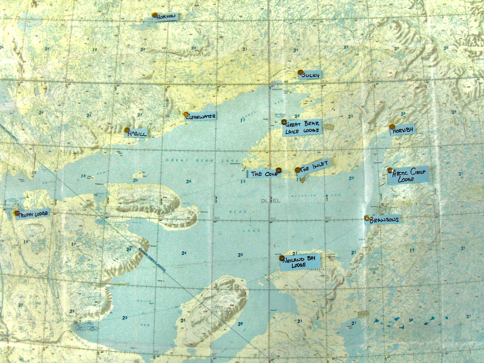
The following link will take you to a map of Great Bear Lake showing where all of the aforementioned places are to be found:
https://www.google.com/maps/d/edit?mid=zrxIUdIkvzRw.kI0ai0c2DwCY


